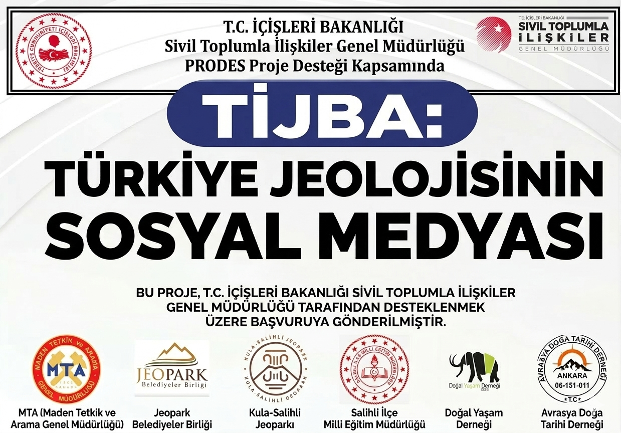
Avrasya Doğa Tarihi Derneği tarafından önerilen TİJBA Uygulaması, Türkiye’nin jeolojik mirasını korumayı ve yaşayan bir dijital envanter oluşturmayı hedefler. Hem mobil hem de web tabanlı olarak kurgulanan bu platform, ülkemizin 13 jeolojik dönemine ait verileri kapsayacaktır. Proje, jeolojik sit alanlarının madencilik ve kontrolsüz kentleşme gibi tehditlerle karşı karşıya olması gerekçesiyle "Çevrenin ve doğal yaşamın korunması" başlığında yapılandırılmıştır.
Proposed by the Eurasia Natural History Association, the TİJBA Application aims to protect Turkey's geological heritage and create a living digital inventory. Designed both mobile and web-based, this platform will cover data belonging to 13 geological periods of our country. The project is structured under the title "Protection of the environment and natural life" due to the threats faced by geological sites such as mining and uncontrolled urbanization.
Proposto pela Associação de História Natural da Eurásia, o Aplicativo TİJBA visa proteger o patrimônio geológico da Turquia e criar um inventário digital vivo. Projetado para web e dispositivos móveis, esta plataforma abrangerá dados pertencentes a 13 períodos geológicos de nosso país. O projeto está estruturado sob o título "Proteção do meio ambiente e da vida natural" devido às ameaças enfrentadas por sítios geológicos, como mineração e urbanização descontrolada.
"Türkiye Jeolojisinin Sosyal Medyası" mantığıyla çalışan uygulama, vatandaş bilimi (Citizen Science) yaklaşımıyla toplumun her kesiminden veri akışı sağlayacaktır. Kullanıcılar sahada karşılaştıkları fosilleri ve jeomiras alanlarını gerçek zamanlı "check-in" ve ihbar mekanizmasıyla sisteme yükleyecektir. Bu veriler, MTA Tabiat Tarihi Müzesi uzmanlarınca akademik onay sürecinden geçtikten sonra ana arayüzde yüksek çözünürlüklü litoloji, indeks fosiller ve petrol havzası verileriyle birlikte sunulacaktır.
Operating with the logic of "Social Media of Turkish Geology", the application will provide data flow from all segments of society with a citizen science approach. Users will upload fossils and geoheritage sites they encounter in the field to the system via real-time "check-in" and reporting mechanisms. These data will be presented in the main interface together with high-resolution lithology, index fossils, and oil basin data after passing through the academic approval process by MTA Natural History Museum experts.
Operando com a lógica de "Mídia Social da Geologia Turca", o aplicativo fornecerá fluxo de dados de todos os segmentos da sociedade com uma abordagem de ciência cidadã. Os usuários enviarão fósseis e locais de geopatrimônio encontrados em campo para o sistema por meio de mecanismos de "check-in" e relatórios em tempo real.
MTA Şehit Cuma Dağ Tabiat Tarihi Müzesi
Vatandaşlardan gelen fosil, litoloji ve jeomiras verilerinin akademik validasyonunu (doğrulamasını) sağlayacak bilimsel merkezdir.
It is the scientific center that will provide academic validation of fossil, lithology, and geoheritage data coming from citizens.
É o centro científico que fornecerá a validação acadêmica dos dados de fósseis, litologia e geopatrimônio vindos dos cidadãos.
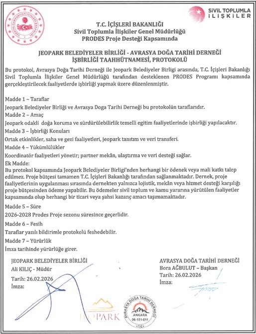
Jeopark Belediyeler Birliği
Geopark Municipalities Union
União de Municípios de Geoparques
(Kula-Salihli UNESCO Küresel Jeoparkı): Uygulamanın pilot bölge saha testleri burada yürütülecek ve bölgedeki volkanik miras verileri sisteme entegre edilecektir.
(Kula-Salihli UNESCO Global Geopark): Pilot region field tests of the application will be carried out here, and volcanic heritage data in the region will be integrated into the system.
(Geoparque Global UNESCO Kula-Salihli): Os testes de campo da região piloto serão realizados aqui, e os dados do patrimônio vulcânico serão integrados ao sistema.
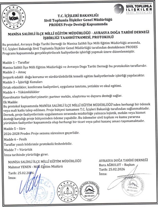
Salihli İlçe Milli Eğitim Müd.
Salihli District National Education
Diretoria Nacional de Educação
Jeopark bölgesinde bulunan Müdürlüğe bağlı 142 kurumdaki 27.483 öğrenci, uygulamayı kullanarak doğa bilinci kazanacak ve aktif veri sağlayıcı olacaktır.
27,483 students in 142 institutions affiliated with the Directorate located in the Geopark region will gain nature awareness by using the application.
27.483 estudantes em 142 instituições afiliadas à Diretoria ganharão conscientização ambiental usando o aplicativo.
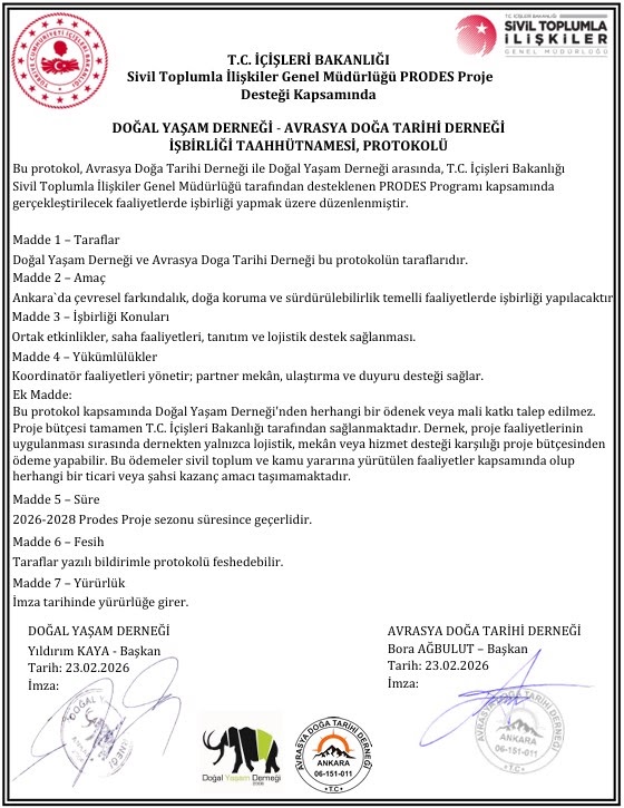
Doğal Yaşam Derneği
Natural Life Association
Associação de Vida Natural
Doğal mirasın korunması ve toplumsal farkındalık faaliyetlerinde gönüllü ağı desteği sunacaktır.
It will provide volunteer network support in the conservation of natural heritage and social awareness activities.
Fornecerá suporte de rede de voluntários na conservação do patrimônio natural e atividades de conscientização social.
📍 Koordinatlı Check-in
7’den 70’e her kullanıcı saha gözlemlerini uygulama üzerinden koordinatlı olarak "check-in" yaparak bildirecektir.
Every user from 7 to 70 will report their field observations by checking in with coordinates via the application.
Cada usuário de 7 a 70 anos relatará suas observações de campo fazendo check-in com coordenadas pelo aplicativo.
📸 İhbar Modülü
📸 Reporting Module
📸 Módulo de Relatórios
Yeni bulunan fosil lokaliteleri veya tehdit altındaki jeomiras alanları fotoğraflanarak sisteme yüklenecektir.
Newly found fossil localities or threatened geoheritage areas will be photographed and uploaded to the system.
Localidades de fósseis recém-encontradas ou áreas de geopatrimônio ameaçadas serão fotografadas e enviadas ao sistema.
💬 Tartışma Katmanı
💬 Discussion Layer
💬 Camada de Discussão
Veriler önce topluluk içerisinde tartışmaya açılacak, amatör ve profesyoneller arasında bilgi alışverişi sağlanacaktır.
Data will first be opened for discussion within the community, and information exchange will be ensured between amateurs and professionals.
Os dados serão abertos para discussão na comunidade, garantindo a troca de informações entre amadores e profissionais.
✔️ Uzman Onayı
✔️ Expert Approval
✔️ Aprovação de Especialistas
MTA ve üniversite uzmanları veriyi doğruladığında, kayıt ana atlas katmanına taşınacaktır.
When MTA and university experts verify the data, the record will be moved to the main atlas layer.
Quando especialistas da MTA e universidades verificarem os dados, o registro será movido para a camada principal do atlas.
1. Çeyrek: Hazırlık ve Yazılım Geliştirme (Ağustos - Ekim 2026)
Quarter 1: Preparation & Software Development (August - October 2026)
Trimestre 1: Preparação e Desenvolvimento de Software (Agosto - Outubro 2026)
M1 (Ağustos): İdari Başlangıç ve Protokoller: Proje koordinatörünün atanması, MTA, Jeopark Birliği ve Salihli MEB ile operasyonel takvimin netleştirilmesi.
M1 (August): Administrative Start and Protocols: Appointment of project coordinator, clarification of operational schedule with MTA, Geopark Union, and Salihli National Education.
M1 (Agosto): Início Administrativo e Protocolos: Nomeação do coordenador do projeto, esclarecimento do cronograma operacional.
M2-M3 (Eylül - Ekim): Altyapı ve Base44 AI Geliştirme: TİJBA platformunun Base44 yapay zeka destekli altyapıda mobil ve web arayüzlerinin kodlanması.
M2-M3 (September - October): Infrastructure and Base44 AI Development: Coding of mobile and web interfaces of the TİJBA platform.
M2-M3 (Setembro - Outubro): Infraestrutura e Desenvolvimento de IA Base44: Codificação de interfaces móveis e web da plataforma TİJBA.
2. Çeyrek: Veri Entegrasyonu ve Bilimsel Modelleme (Kasım 2026 - Ocak 2027)
Quarter 2: Data Integration & Scientific Modeling (November 2026 - January 2027)
Trimestre 2: Integração de Dados e Modelagem (Novembro 2026 - Janeiro 2027)
M4-M5 (Kasım - Aralık): Envanter İşleme: Mevcut 227+ fosil lokalitesi, biyostratigrafik korelasyonlar ve hidrokarbon potansiyel verilerinin sisteme girişi.
M4-M5 (November - December): Inventory Processing: Entry of existing 227+ fossil localities, biostratigraphic correlations, and hydrocarbon potential data into the system.
M4-M5 (Novembro - Dezembro): Processamento de Inventário: Entrada de mais de 227 localidades de fósseis existentes.
3. Çeyrek: Pilot Uygulama ve Saha Testleri (Şubat - Nisan 2027)
Quarter 3: Pilot Application & Field Tests (February - April 2027)
Trimestre 3: Aplicação Piloto e Testes de Campo (Fevereiro - Abril 2027)
M7-M8 (Şubat - Mart): Salihli Pilot Bölge Uygulaması: Salihli MEB bünyesindeki 27.483 öğrenciye yönelik "Mobil Yer Bilimci" eğitimleri.
M7-M8 (February - March): Salihli Pilot Region Application: "Mobile Geoscientist" trainings for 27,483 students within Salihli National Education.
M7-M8 (Fevereiro - Março): Aplicação na Região Piloto de Salihli: Treinamentos de "Geocientista Móvel".
4. Çeyrek: Yaygınlaştırma ve Kapanış (Mayıs - Temmuz 2027)
Quarter 4: Dissemination & Closure (May - July 2027)
Trimestre 4: Divulgação e Encerramento (Maio - Julho 2027)
M12 (Temmuz): Sistem Göçü ve Raporlama: Base44 üzerindeki verilerin ENHA özgün sunucularına aktarılması ve projenin kapatılması.
M12 (July): System Migration and Reporting: Transferring data on Base44 to ENHA's original servers and closing the project.
M12 (Julho): Migração de Sistema e Relatórios: Transferência de dados no Base44 para os servidores originais da ENHA e encerramento do projeto.